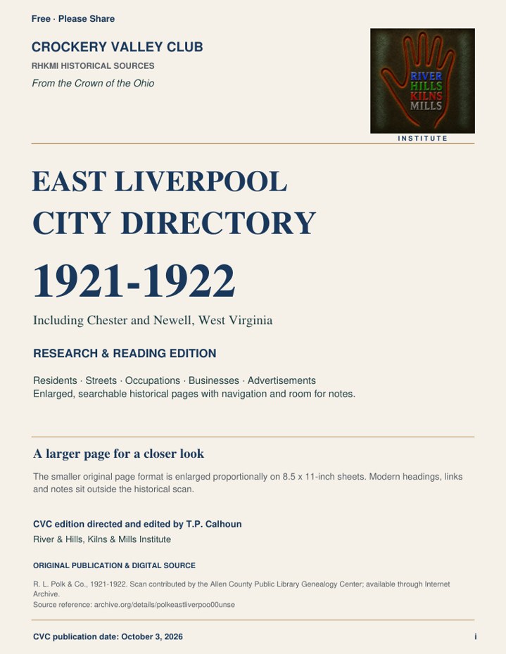
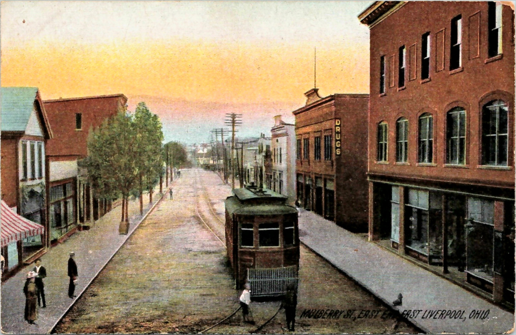
Research, images, maps, and stories from the Crown of the Ohio.
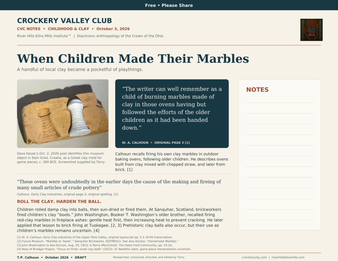
The River Hills Kilns Mills Institute™ investigates the people, places, industries, and landscapes of the Crown of the Ohio through historical research, cartography, and visual culture, and publishes them openly through the Crockery Valley Club.
Featured publication
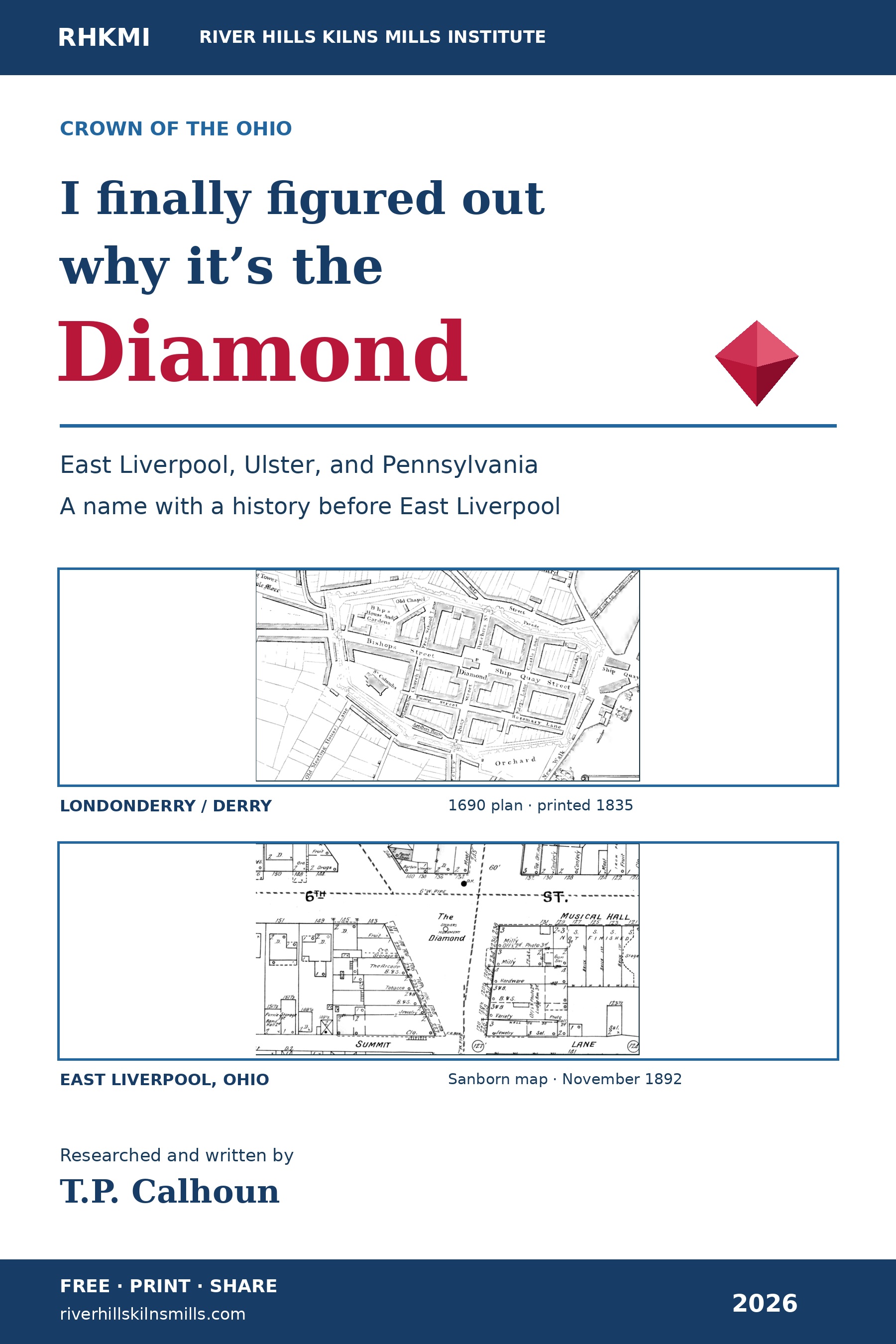
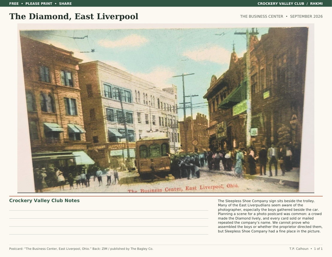
I finally figured out why it’s the Diamond
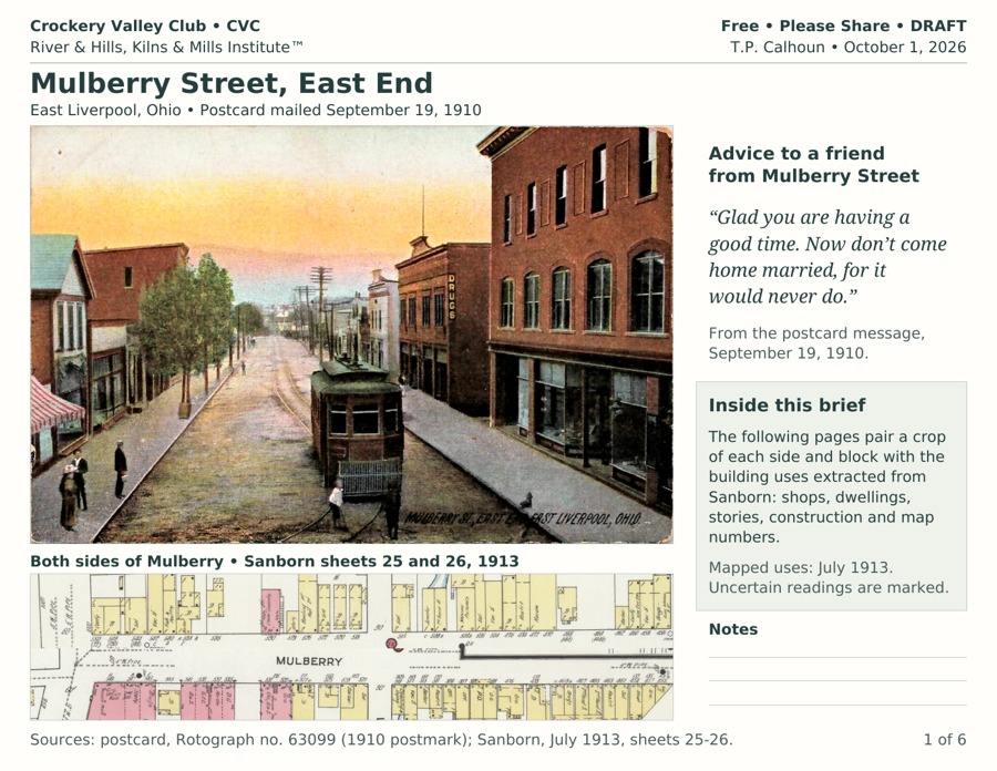
East Liverpool’s triangular Diamond belongs to a town-center naming tradition concentrated in Ulster and Pennsylvania. T.P. Calhoun’s four-page illustrated essay compares six historic maps and brings the local naming research up to date.
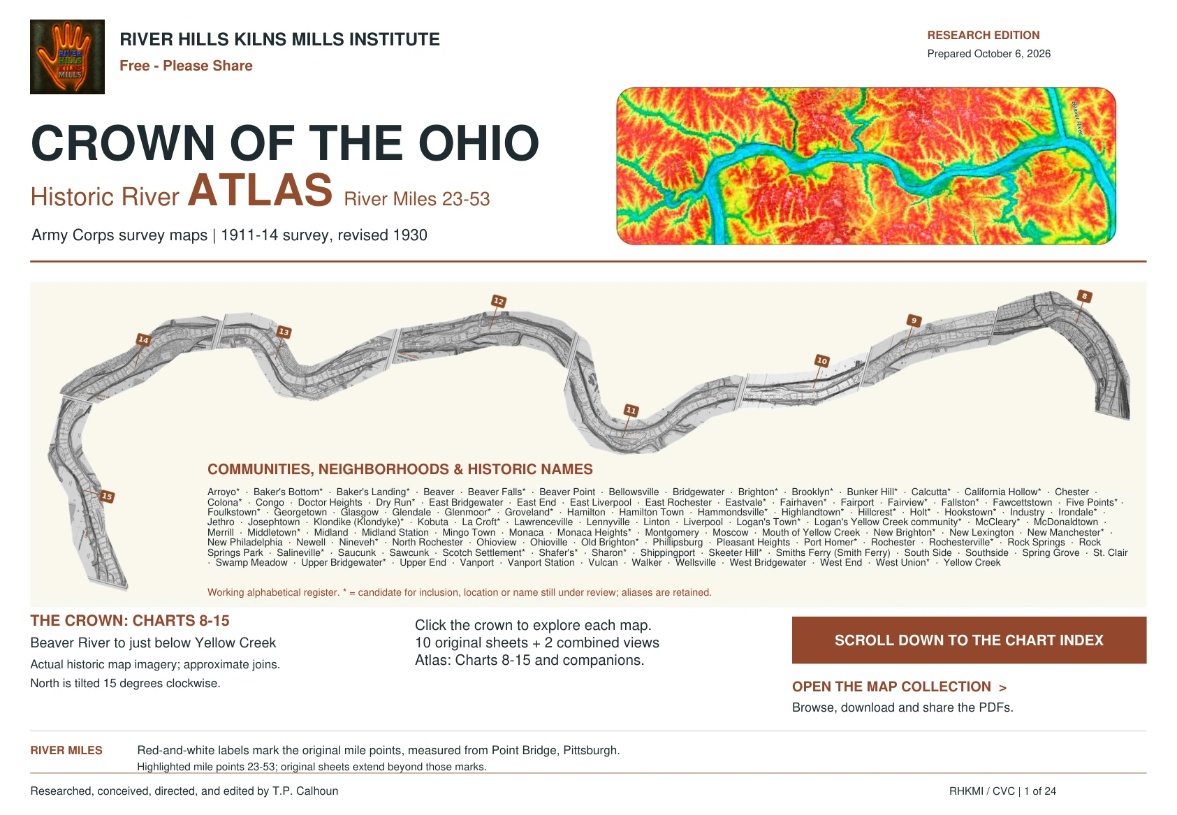
River Miles 23–53, from Beaver and Rochester to Yellow Creek. The complete 24-page atlas brings together Charts 8–15, tributary sheets, junction overviews, and reading guides. Army Corps surveys of 1911–14, revised 1930.
East Liverpool’s triangular Diamond belongs to a town-center naming tradition concentrated in Ulster and Pennsylvania. T.P. Calhoun’s four-page illustrated essay compares six historic maps and brings the local naming research up to date.
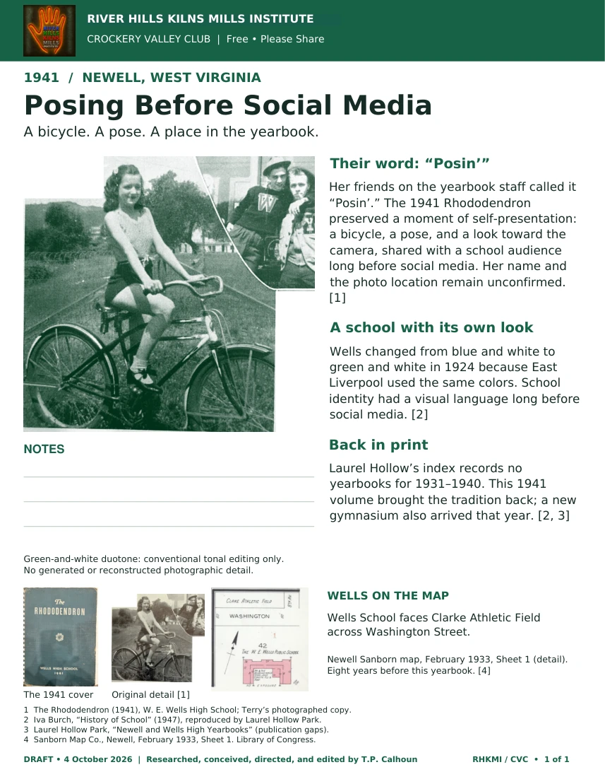
A bicycle. A pose. A place in the yearbook. A one-page story from Wells High School’s 1941 Rhododendron, with the green-and-white photograph and a Sanborn map of the school.
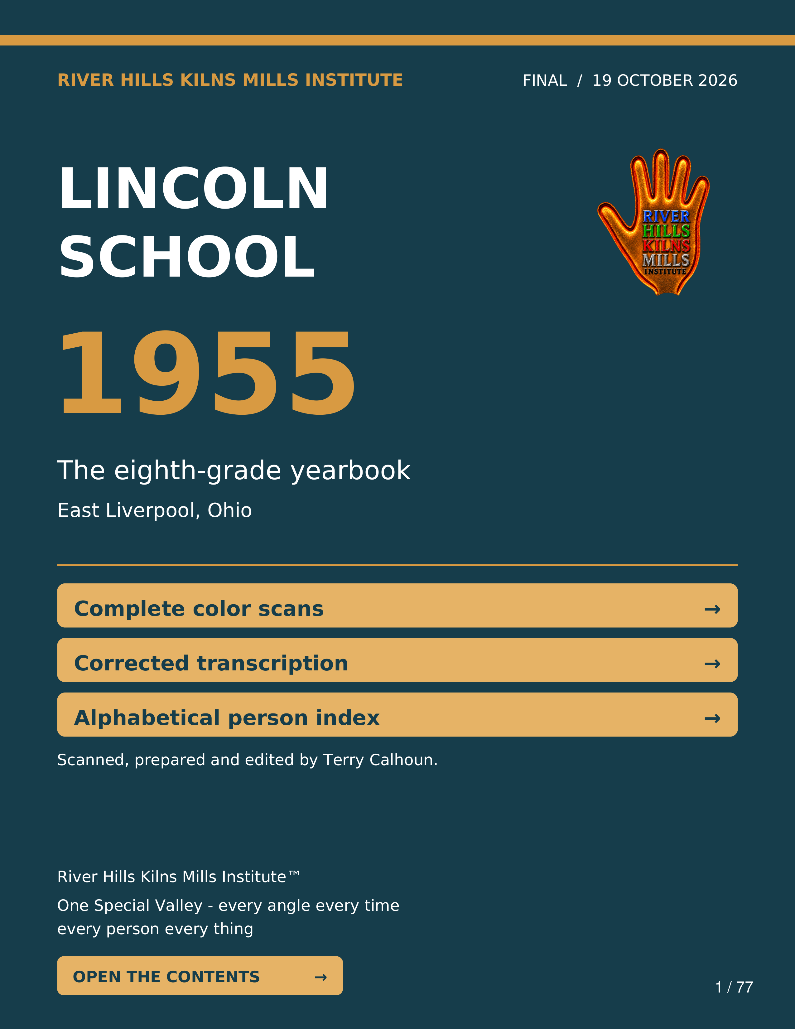
(ELO) Lincoln School’s eighth-grade class in its own words: complete original color scans, corrected text, and a linked alphabetical index of 197 people.
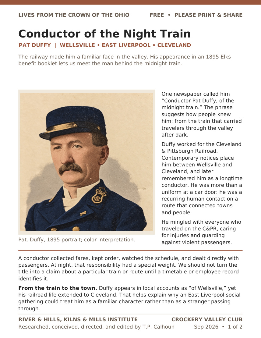
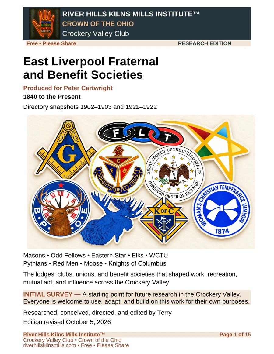
A 15-page initial survey of the area’s lodges, clubs, unions, and benefit societies, produced for Peter Cartwright. A starting point for future research—everyone is welcome to use, adapt, and build on it.
The Institute advances a diachronic understanding of the Crown of the Ohio through research, historical materials, and visual culture, and publishes these materials freely through the Crockery Valley Club.